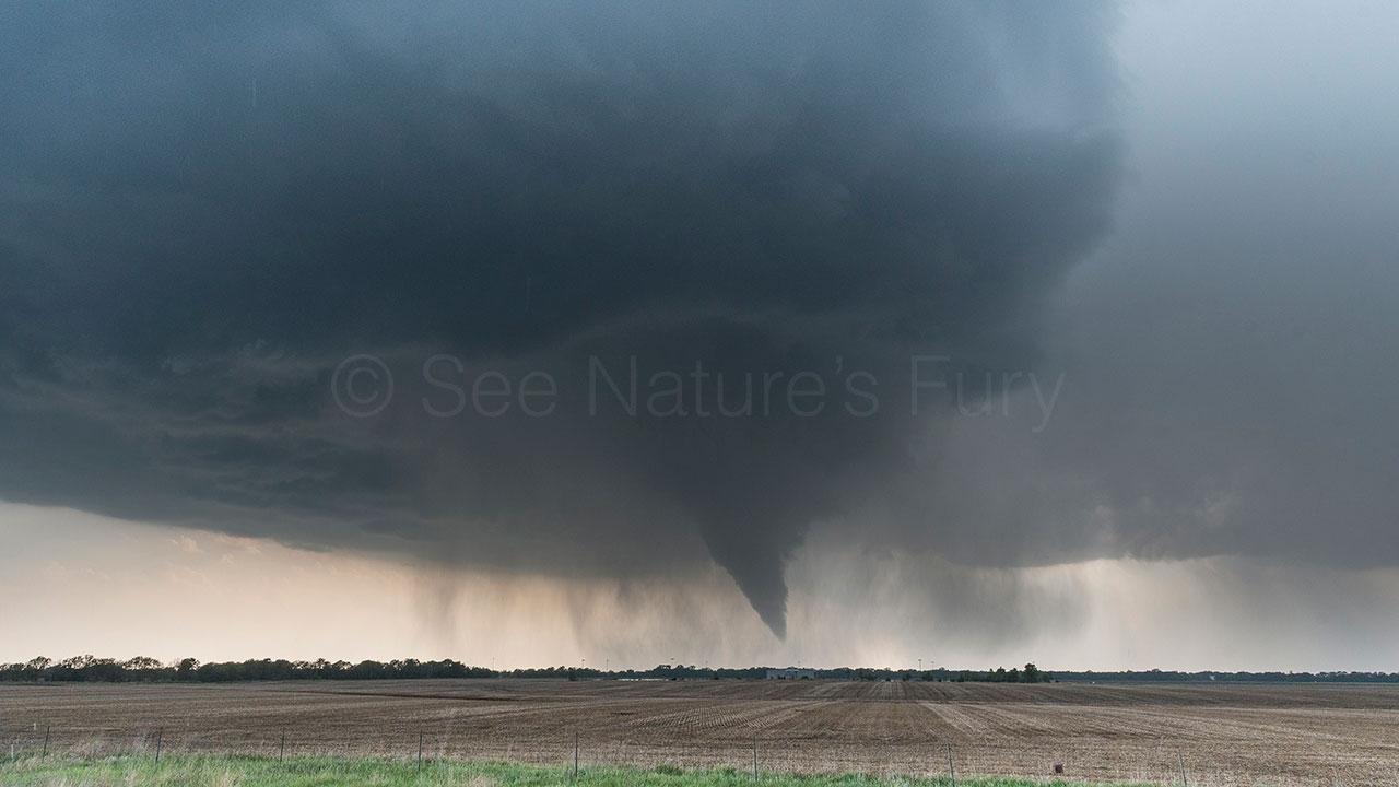
Arkansas City Tornado 14th May 2018
Our day started off in Woodward, Oklahoma with initial thoughts taking us towards North Central Oklahoma/South Central Kansas. A pit stop was needed for some essentials before we left, and during this time an SPC upgrade was added to Colorado. After 20 minutes deciding between the two target areas and checking the current data we set off towards our original target.


Visible satellite imagery showed an outflow boundary draped across the target area and these are usually a great focus for strong storms.
We arrived at Braman, Oklahoma on the I35 and watched as towers started to build. After 20 minutes or so one finally got going just to our North so we jumped on I35 and headed in to Kansas. We sat on highway 166 and watched as it grew and latched on to the boundary. At this point it was moving slowly NE so we followed on county roads. The only way to get closer to this supercell was to go east on a dirt road towards Geuda Springs. Taking in to account that this supercell had now been pretty much stationary for 20 minutes over these dirt roads dumping rain and hail, and there was a river crossing to contend with we decided to cut across the top of the supercell and down its eastern side.


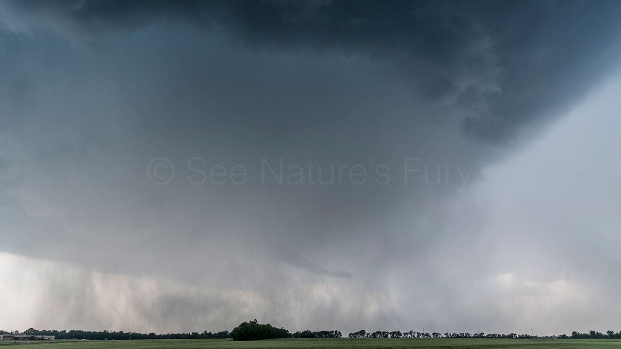
We drove through some small hail and got in to position right in the notch and watched as the storm started to tighten up. We drove a little further south to get out the rain and then we had front row seats for the tornado which occurred 2 miles NW of Arkansas City at 17:35 CDT.

We had a great view of the rotating mesocyclone with tornado underneath which gave us two brief touchdowns before a very cool rope out in to the rain!

A great chase day in a very challenging year. Video highlights of the day can be seen below.
Comments are closed.